Isolated storm chances Tuesday; Mild the rest of the week
AM and PM storm chances Tuesday
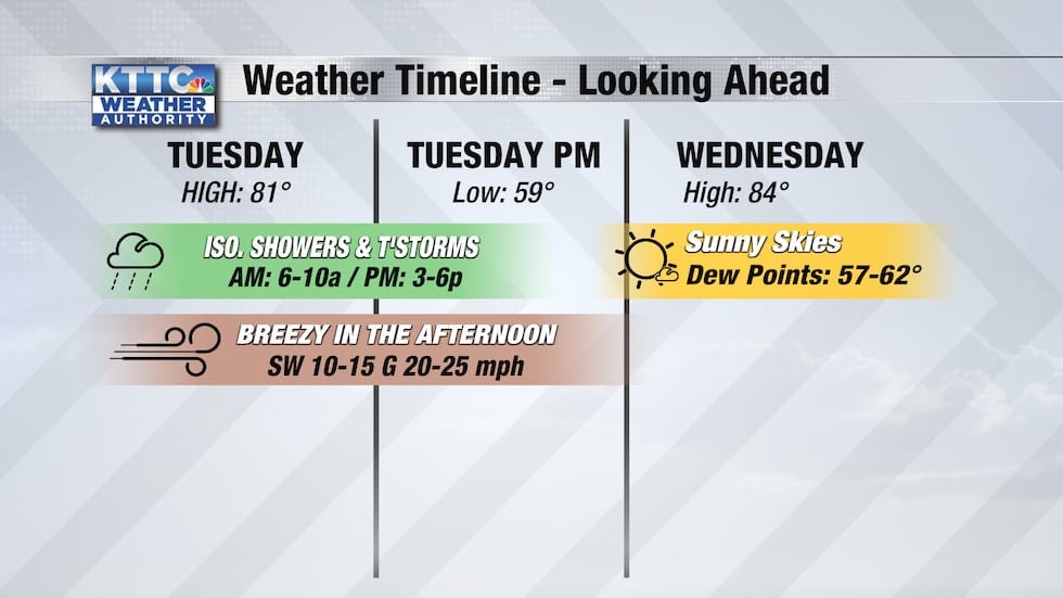
ROCHESTER, Minn. (KTTC) – After a quiet and less muggy weekend, storm chances return Tuesday with the chance for isolated showers and storms through about 10 tomorrow morning, and then another round of storms will move through in the late afternoon/early evening hours. As the storms move through, expect winds to pick up with sustained winds between 10 and 15 miles per hour and gusts tomorrow up to 25 miles per hour. Sunny skies return Wednesday with a high temperature of 84. By Wednesday, dewpoints will be back in the upper-50s and low-60s with muggy conditions returning.
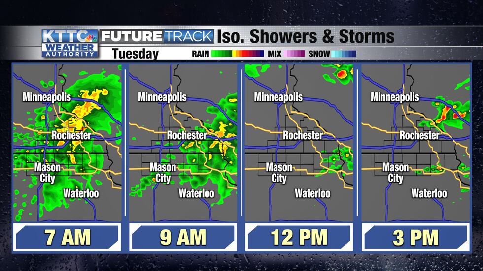
Looking at the timing for the storms tomorrow, expect soggy conditions as you’re heading out to work tomorrow with the storms slowly moving east throughout the day. Mostly dry conditions out there in the afternoon with an isolated shower or two possible in the area through the late afternoon/early evening as storms move off to the east.
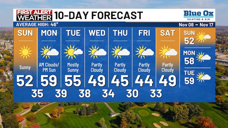
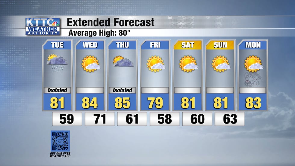
Dewpoints increase as we head through the week bringing a few more chances for storms to the area before another cold front moves through by the end of the workweek. Temperatures the rest of the week will be in the upper-70s and low-80s. Looking ahead to the weekend, temperatures warm up to the mid-80′s by the Fourth of July, with dry conditions expected throughout the weekend and continuing into the holiday.
Copyright 2022 KTTC. All rights reserved.